Research Database
Explore treaties, primary documents, historical artwork, weapons, key figures, and immersive 360° trail panoramas from the Corps of Discovery expedition.
Inside the database
Twelve collections, primary sources from six expedition narrators, contemporary research, and 4,300 miles of trail in 360°. Pick a thread and start pulling.
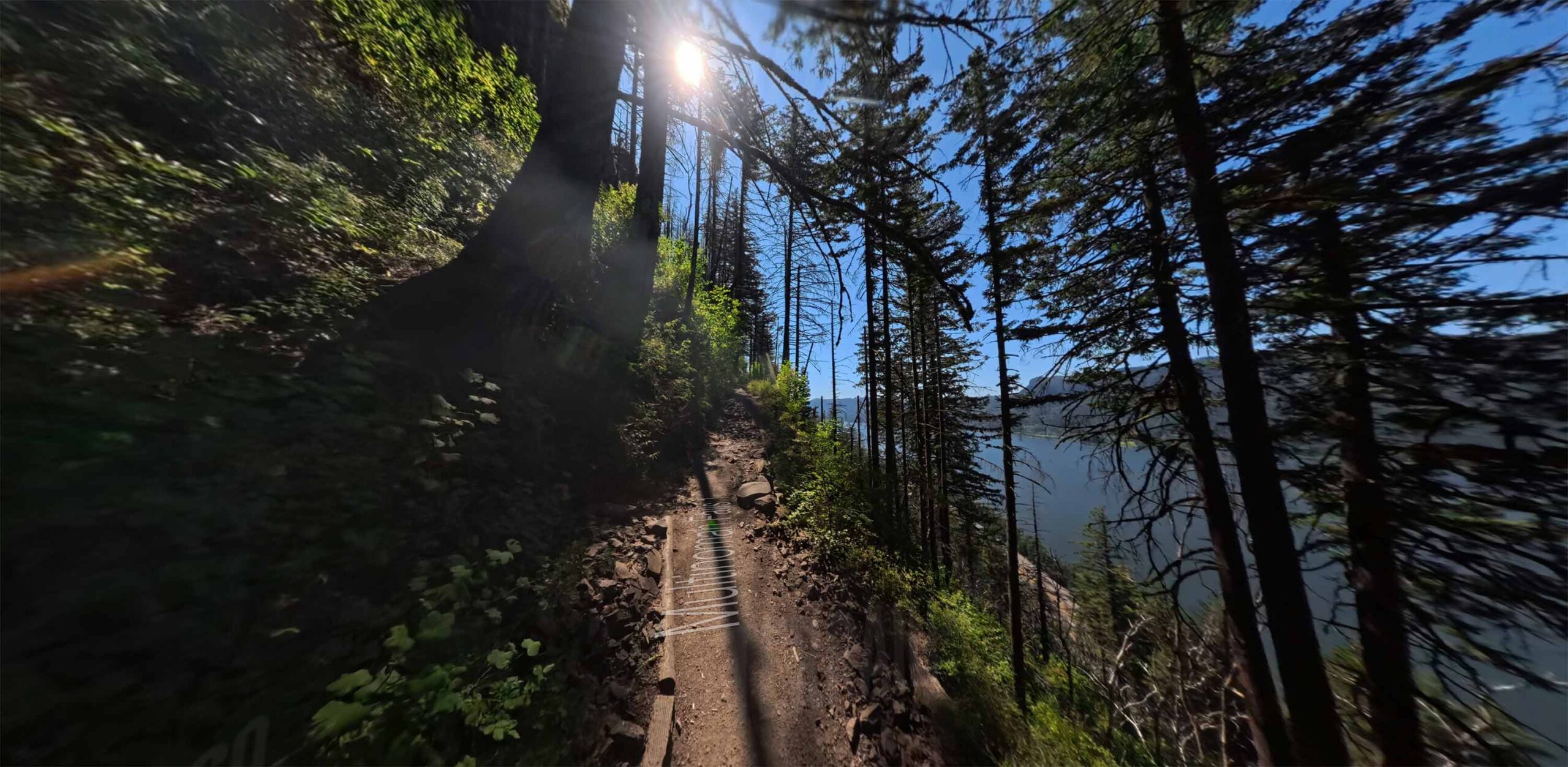

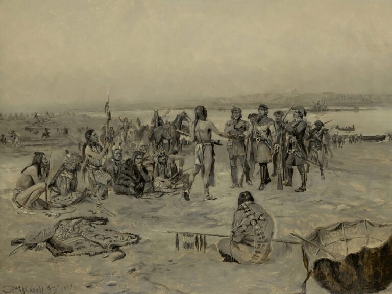
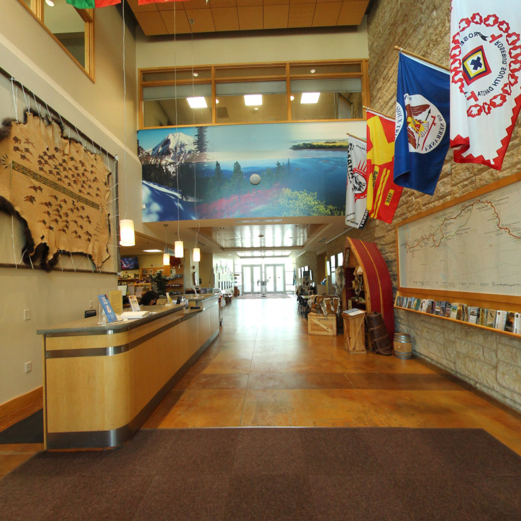
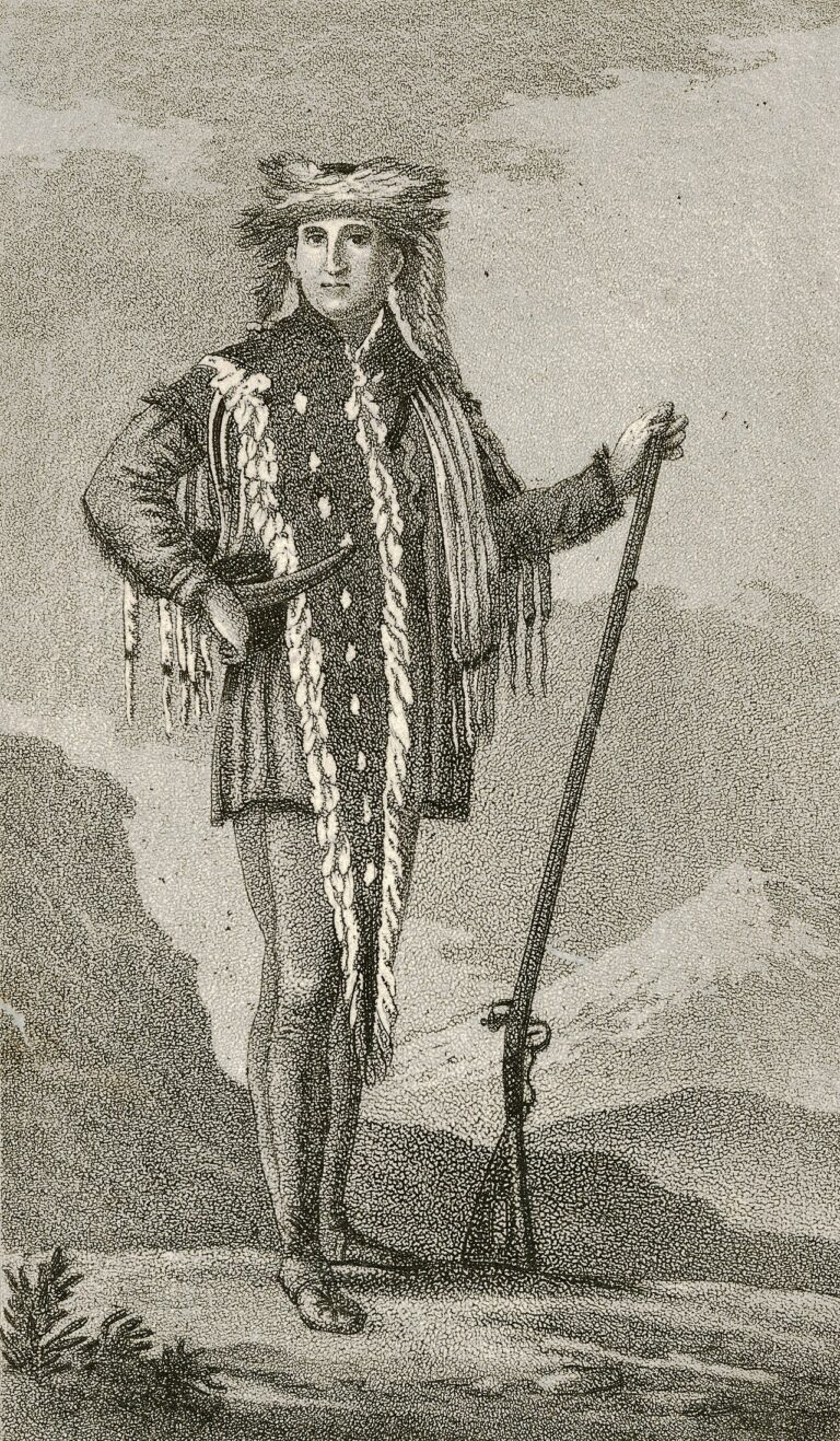
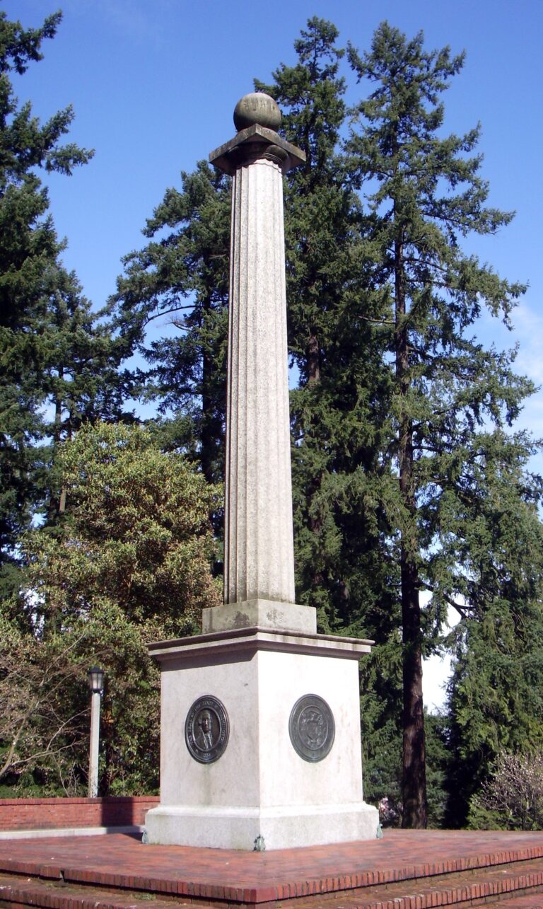
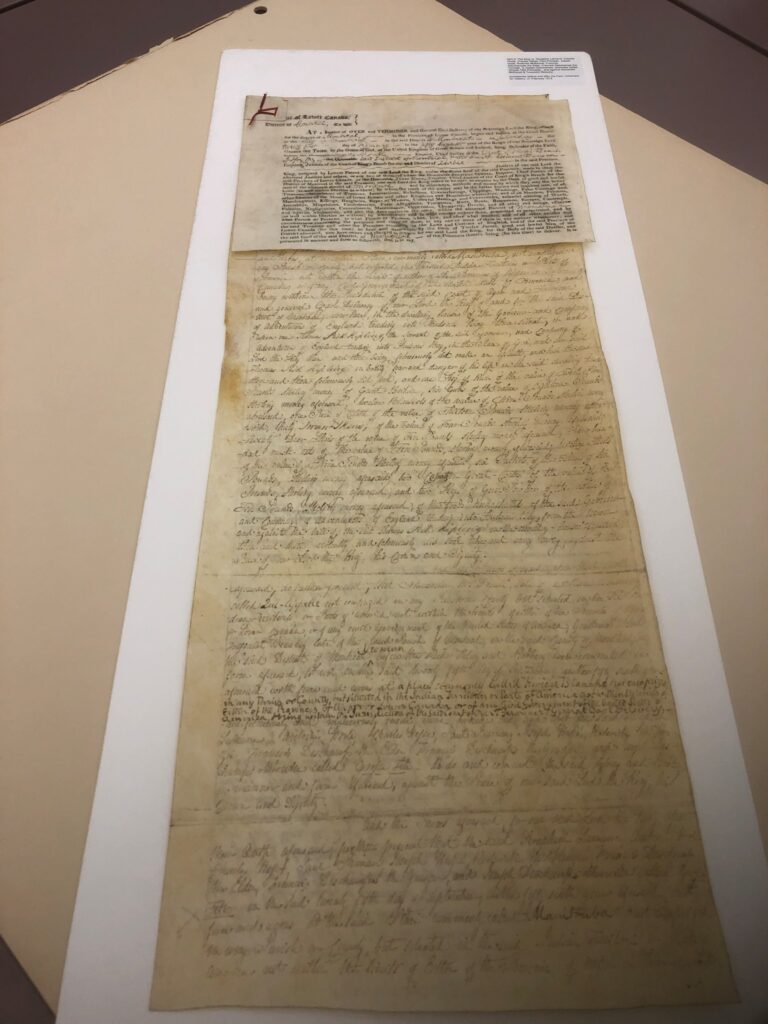
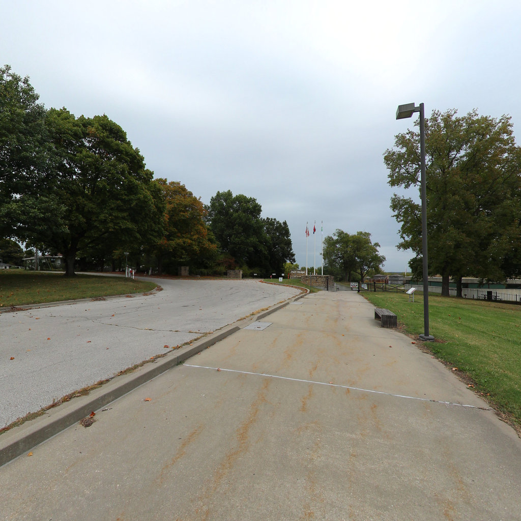
The Lewis and Clark Research Database brings the national scope of the Lewis and Clark Story and Expedition into full view, a nexus of history and geography.
Through the compilation of print and digital resources, the first United States military exploration of the American West is presented in chronological order. Planning, equipping, escorting Sovereign Nation Tribal Chiefs, reporting to President Jefferson, and the Lewis and Clark Journal printing are all in the fabric of the Lewis and Clark Story. The referenced sources explain how the labors of the men and women of the Expedition are still guide posts for all people and ages.
The theoretical Northwest Passage and foreign financial rivalry was never far from Thomas Jefferson's mind. The first successful military exploration of the West by Lewis and Clark is clearly founded in planning, preparation, and recruitment of people with the "right stuff." The exploration included recording the findings and experiences as outlined in President Jefferson's Instructions to Meriwether Lewis.
This research database is built and maintained by Terrain360 with support from the Lewis and Clark Trust, drawing on the work of historians, researchers, and partner organizations. We have compiled, digitized, and cross-referenced thousands of primary sources (journal entries, treaties, maps, artwork, and more) into a single searchable archive, making this chapter of American history accessible to researchers, educators, and the public.
The same day, in every journal that recorded it.
For dates when two or more expedition journalists were writing, this database compares what each preserved. Analyses are drafted from the cited journal entries, then checked against the quoted text. They sit beside the primary record — they do not replace it.
The Silence of Meriwether Lewis: What Clark and the Sergeants Preserved, August 1805–January 1806
Among the unresolved mysteries of the Lewis and Clark Expedition, none is more consequential to the historical record than Meriwether Lewis's prolonged silence after August 26,…
Sacagawea: The Shoshone Interpreter of the Corps of Discovery
Recruitment at Fort MandanSacagawea entered the expedition record indirectly, through her husband. On November 4, 1804, Clark’s journal for that day records that "A Mr. Chaubonee…
Cameahwait: The Lemhi Shoshone Chief Who Traded Horses
First Contact in the MountainsCameahwait — chief of a band of Lemhi Shoshone encountered west of the Continental Divide in August 1805 — became, in the…
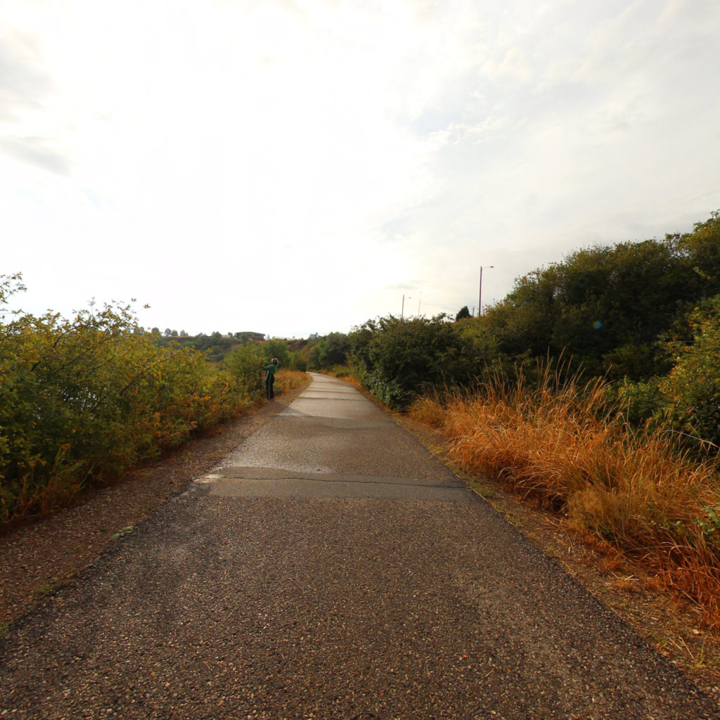
Two Rivers, Two Crises: The Split Expedition on July 12, 1806
By July 12, 1806, the Corps of Discovery had split into detachments executing Captain Lewis's ambitious plan to explore multiple river systems on the return journey.…
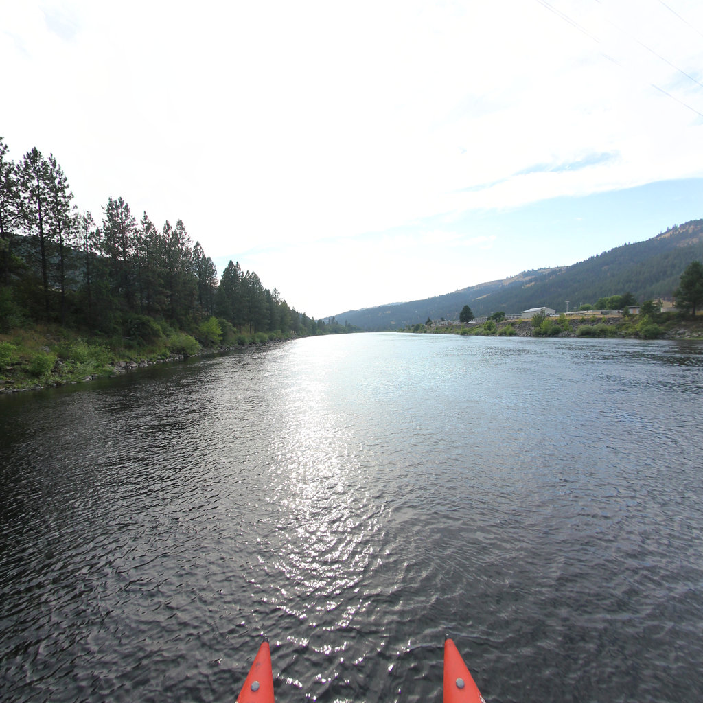
Recovery and Routine at Canoe Camp
By the third of October 1805, the Corps of Discovery had been encamped on the Clearwater River for several days, hollowing out cottonwood canoes for the…
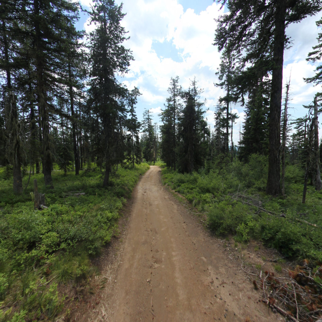
Potts’s Wound and a Rifle for a Guide: Retreat from the Bitterroots
The entries for June 18, 1806 capture the Corps of Discovery in retreat after their first attempt to recross the Bitterroots had been turned back by…
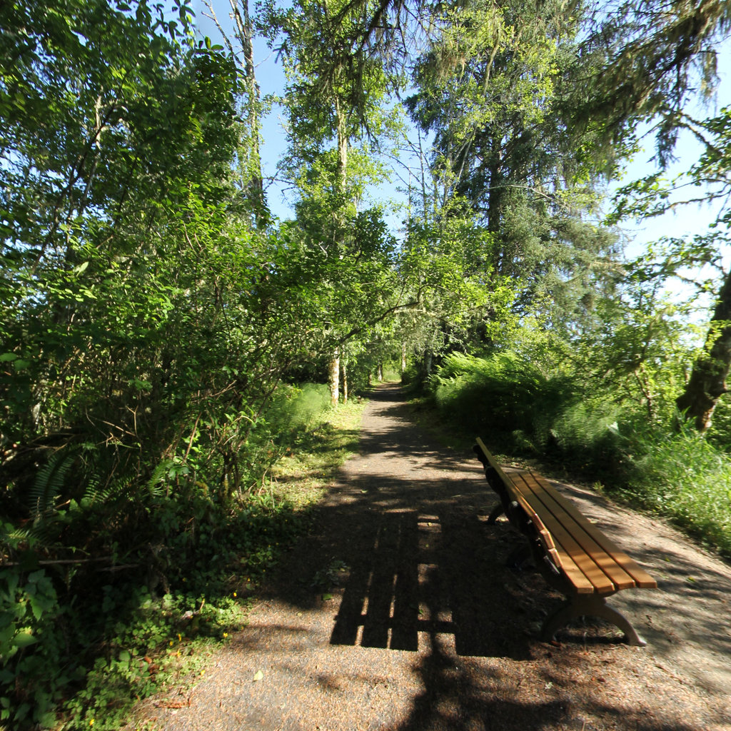
Jerking Meat and Cataloguing Firs: Four Voices at Fort Clatsop
February 9, 1806 produced one of the more striking demonstrations of how unevenly the four Fort Clatsop journalists distributed their attention. The day's events were modest:…
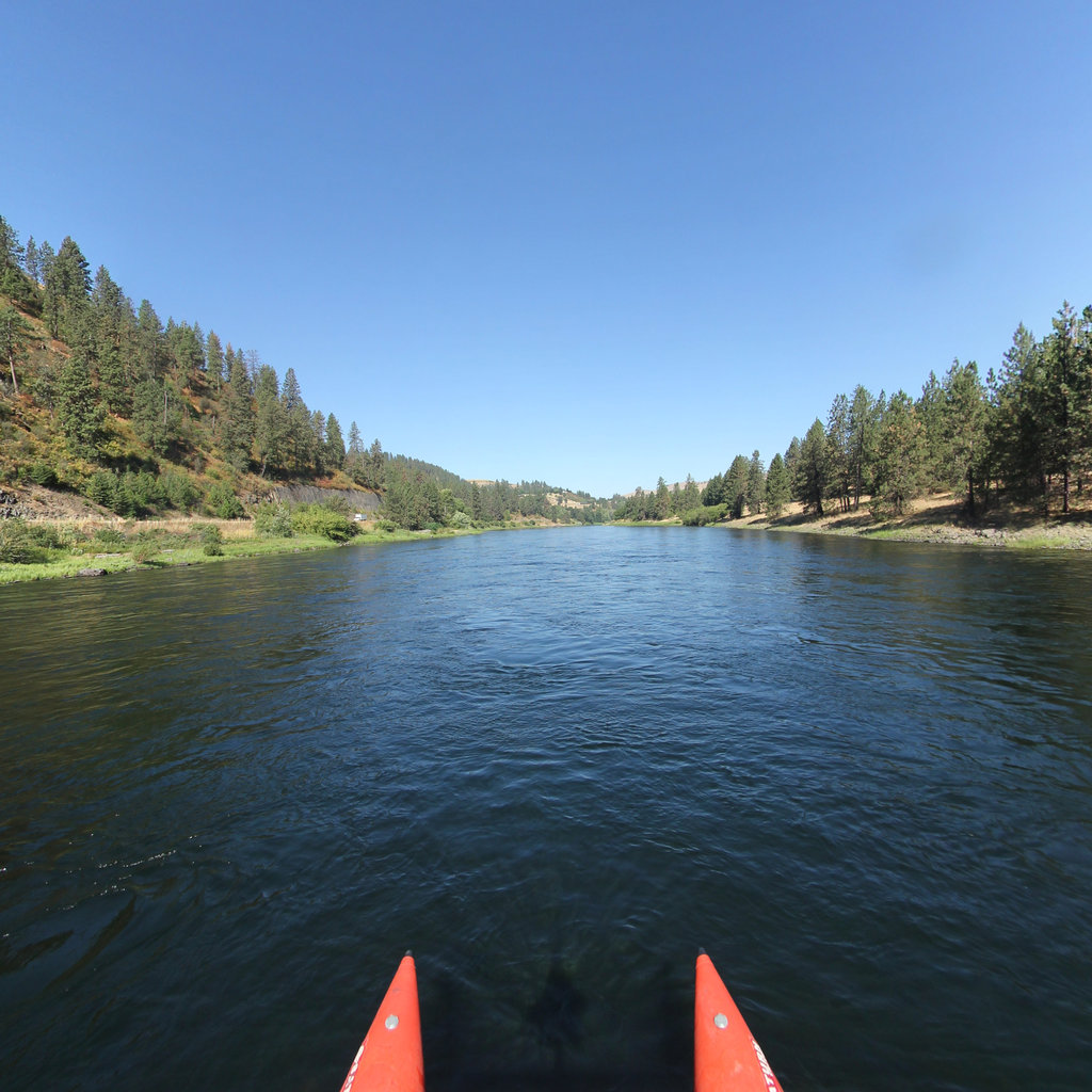
Horned Lizards, Healing Chiefs, and a Spanish Dollar: Four Voices at Camp Chopunnish
The journal entries dated May 29, 1806, offer an unusually clear demonstration of how the Lewis and Clark expedition divided its documentary labor at Camp Chopunnish,…
What is the trail actually worth?
A commissioned study put a number on it.
Commissioned by the National Park Service and the Lewis and Clark Trust, this study documented the economic impact of the Lewis & Clark National Historic Trail across five surveyed sites — using on-site visitor surveys, mobility data, and IMPLAN modeling to derive direct, indirect, and induced effects.

Lewis & Clark National Historic Trail
Follow the Corps day by day across 4,300 miles and 16 states — every place the journals were written, beside interactive 360° panoramic views of the route today.
Browse all 222 expedition places — where the journals were written, in 360°
Pick a thread — follow it back to its source.
A random pull from across the database: an analysis, a painting, a wildlife encounter, a river feature, a tribal voice. Each card links straight to the primary record.
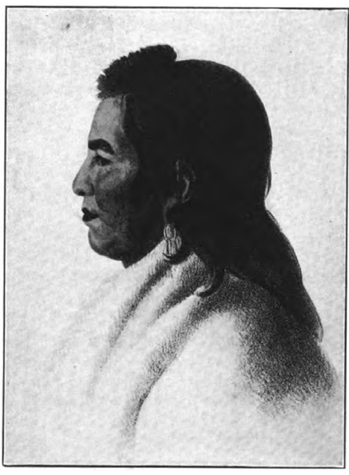 Artwork
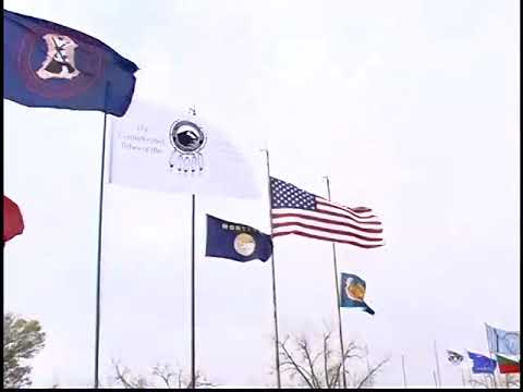
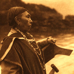 Heacock Memorial
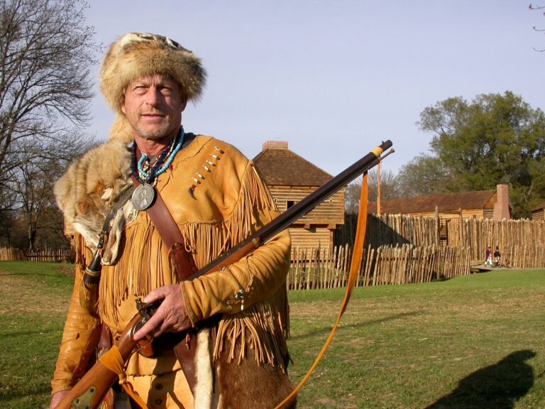 Research Article
 Tent of Many Voices
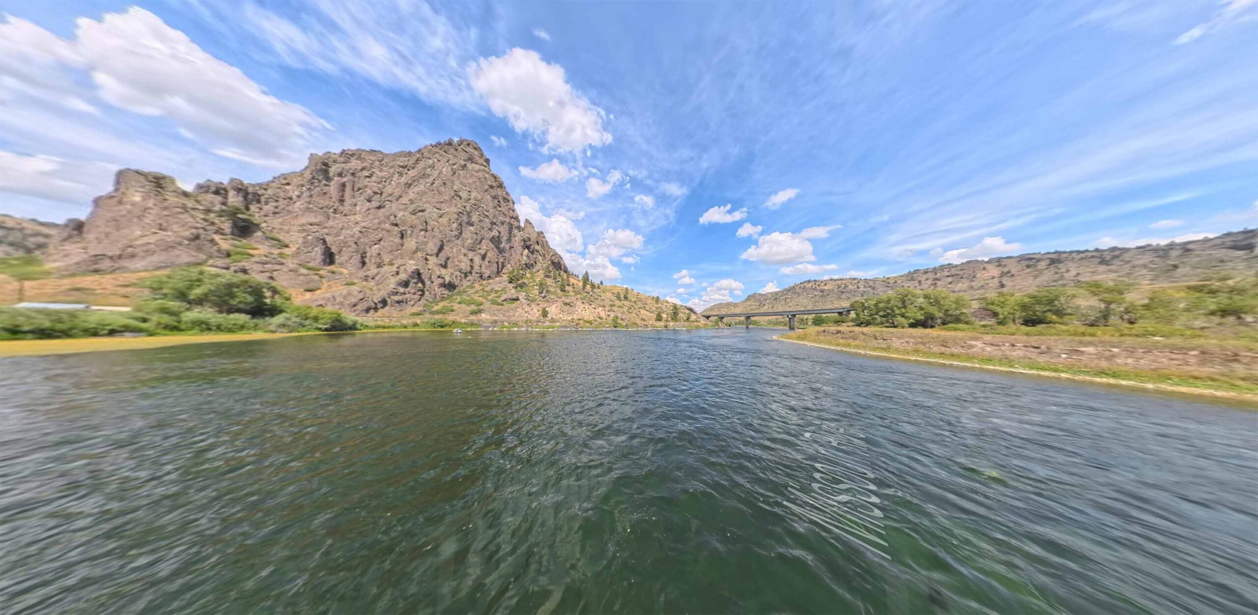
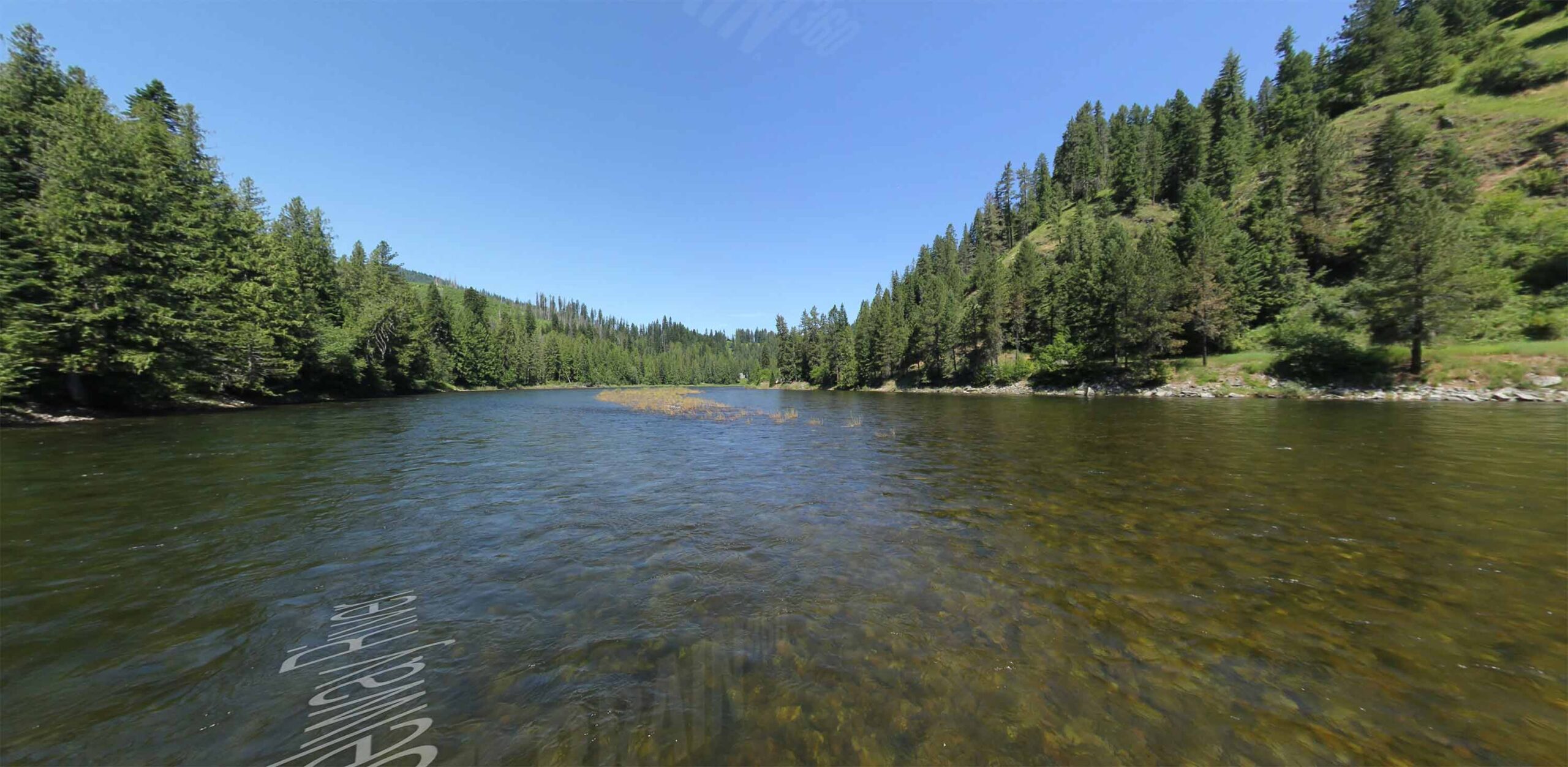 River Feature
 Cross-Narrator Analysis
A Digital Archive for the Corps of Discovery
The Lewis and Clark Research Database is a comprehensive digital archive preserving the historical legacy of the Corps of Discovery expedition. Our collection includes original treaties, translations, scholarly research, primary documents, period artwork, and expedition weapons — all searchable and cross-referenced for researchers, educators, and students.
Integrated with Terrain360's immersive trail mapping technology, this database connects historical events to the physical landscape through more than 200,000 panoramic scenes spanning 4,300 miles of the Lewis & Clark National Historic Trail across 16 states.
Read the Story

